Lowertown
A site about Lowertown near Helston, Cornwall
Skip to content
Home
What’s New
ALERTS
ACTIVITIES AND EVENTS
Speed Awareness Project
Lowertown Bridge
Lowertown Phone Box Project
Lowertown Community Group
Photo Gallery
Afternoon Cream Tea September 2023
Visit to Windmill Farm
Community Notice Board Project
Community Litter-pick April 2023
Carols by Candlelight 2022
Afternoon Cream Tea September 2022
Summer Fete July 2022
Memories and Historical Accounts
Report of interview with the late Ronnie Jenkin
Mapping Methodism Project
From Martine Knight, Helston
Memories from Mrs Ivy Johns
William Borlase, Antiquities of Cornwall 1758
Lowertown: A Centenary Souvenir by W F Ivey
Records
Lease for Anvowher Farm, Lowertown 1941
The Miners’ Association of Cornwall and Devonshire – The Annual Meeting Held at Falmouth 26th August 1887
Leats & Mills
Leats
Mills
Maps & Aerial Views
Mining
Field Names
Railway & Viaduct
Helston to Trevarno railway pictures
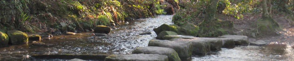
River Cober
River Health
Trannack School
Wildlife
USEFUL INFORMATION & SUPPORT
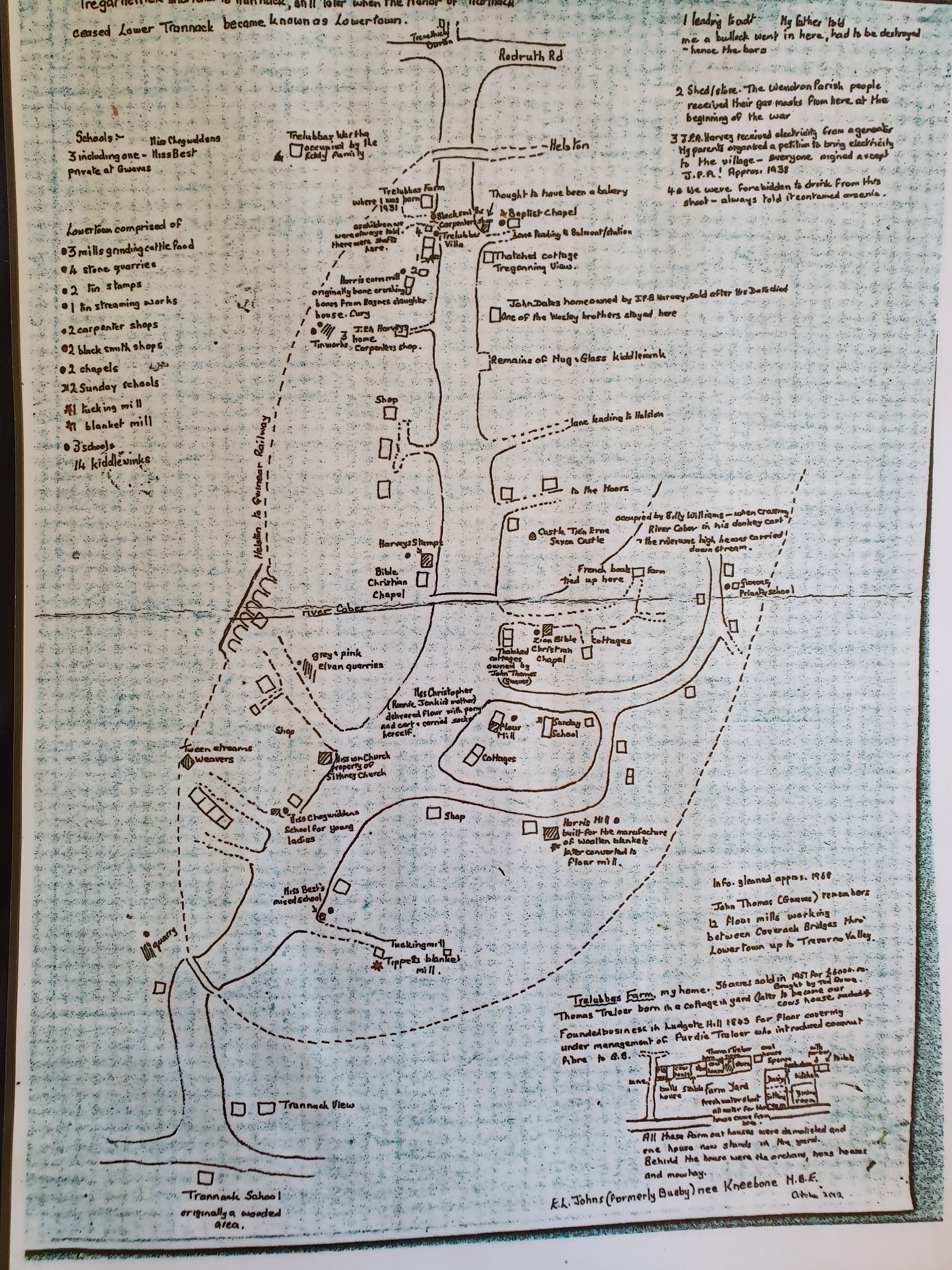
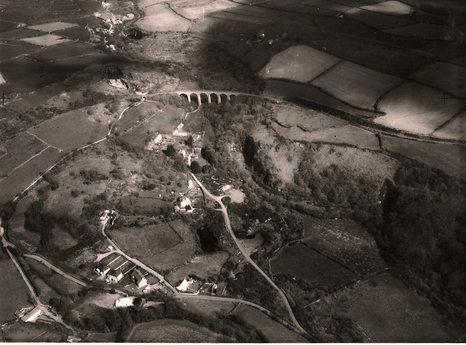
Maps & Aerial Views
Map hand drawn by Enid Johns October 2012. Note historical details
Aerial Views of Lowertown
Map showing positioning of 30 mph signs
Share this:
Click to share on Facebook (Opens in new window)
Facebook
Click to share on X (Opens in new window)
X
Like
Loading...
Search for:
Meta
Create account
Log in
Entries feed
Comments feed
WordPress.com
Lowertown
Sign up
Log in
Copy shortlink
Report this content
Manage subscriptions
Loading Comments...
Write a Comment...
Email (Required)
Name (Required)
Website
%d